
The Mosquito Lagoon and Indian River is tailor made for kayakers who have discovered that kayaking is the best way to get around in these shallow water areas.
Kayaking and canoeing in Central Florida is becoming increasingly popular with sport fishermen.
Kayaking and canoeing in Central Florida is becoming increasingly popular with sport fishermen.
 With a well made, properly rigged out kayak, you can take advantage of the great fishing in waters that are inaccessible to most other anglers.
 These stealth craft enable anglers to fish super skinny water where wary "Gator Sea Trout", snook, black drum and schools of redfish like to forage in relative peace
Using some of the shallow water launch areas listed below, kayakers have easy access to areas where they can fish, dig for clams, hunt for oysters, chase scallops or go crabbing for blue crabs without much competition.
 the Merritt Island National Wildlife Refuge in the northern Indian River Lagoon; nothing beats the experience of getting close to the water and silently scouting the areas where few other people have the ability access.
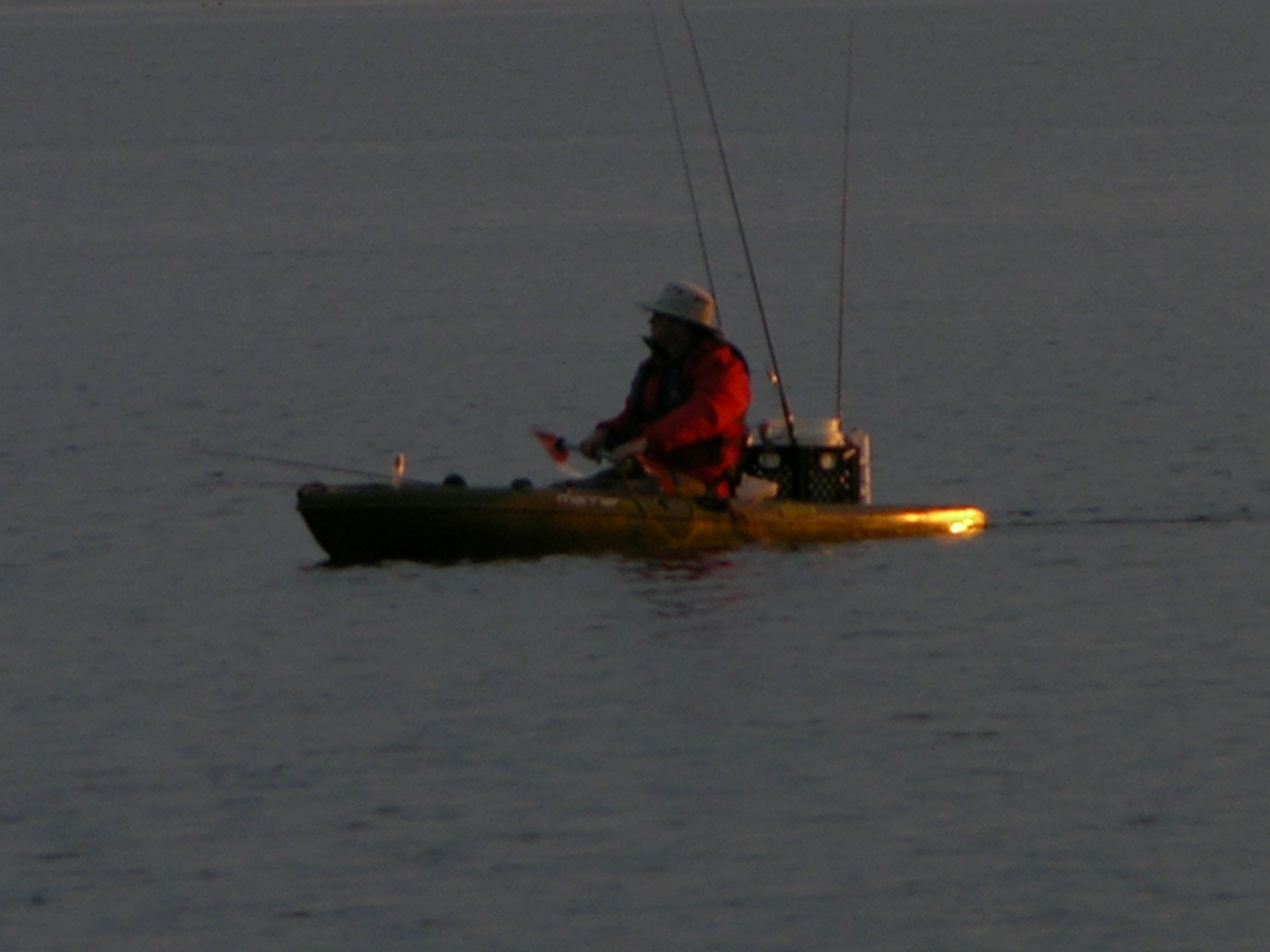
Night kayaking especially, is an experience you will likely never forget.
 A night paddle during a full moon in the Wildlife Refuge becomes fantastic when you see the bio luminescence of your fishing line being picked up from the water as you cast or fish jumping near your kayak.
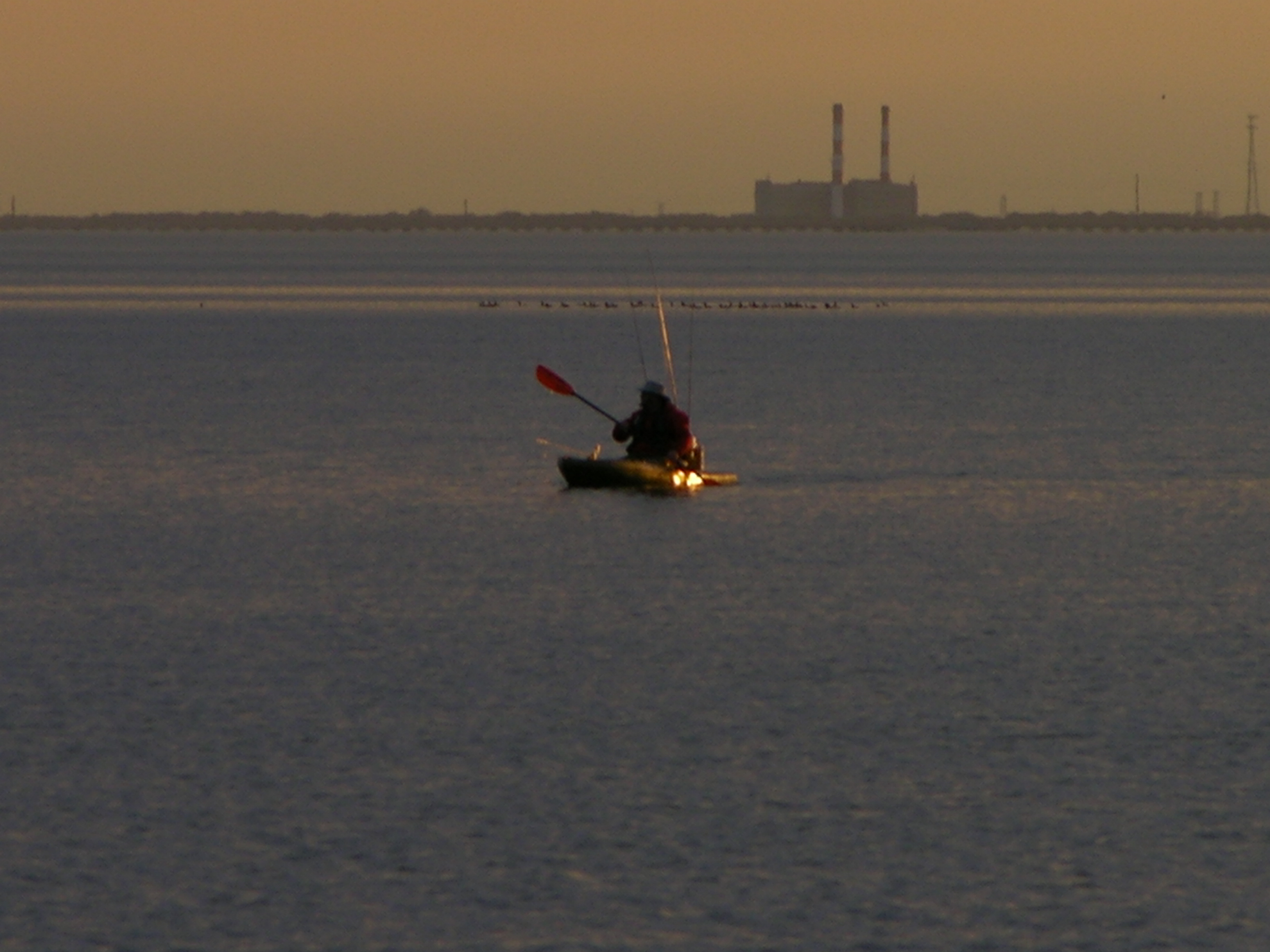 A night paddle during a full moon in the Wildlife Refuge becomes fantastic when you see the bio luminescence of your fishing line being picked up from the water as you cast or fish jumping near your kayak.
The inquisitive manatees and dolphin that often come up to visit you in your kayak at night, is just a free bonus.

Below are some of the favorite shallow water kayak and canoe launching sites that locals in our area use to get their boats into places where "no man has ever gone before".
Feel free to upload these coordinates into your GPS for future reference.
| Launch Area | Location | GPS Coordinates | |
| 1,000 Islands | Cocoa Beach | N28 18.346 W80 36.931 | |
| Beacon42 Ramp | MINWR | N28 45.337 W80 45.933 | |
| Bethune Park | New Smyrna | N28 57.007 W80 50.446 | |
| BioLab Ramp | MINWR | N28 42.360 W80 43.226 | |
| Boyscout Ramp | MINWR | N28 42.580 W80 44.030 | |
| Castle Windy | New Smyrna | N28 53.644 W80 48.485 | |
| Eddy Creek Ramp | Canaveral National Seashore | N28 40.500 W80 38.920 | |
| Jones Street Ramp | Mims | N28 40.660 W80 49.560 | |
| KARS Park | Port Canaveral | N28 26.404 W80 39.523 | |
| Padillo Creek | MINWR | N28 45.366 W80 47.251 | |
| Peacock's Pocket | MINWR | N28 36.484 W80 43.736 | |
| Riverbreeze | Oak Hill | N28 53.856 W80 51.117 | |
| Scottsmore Ramp | Scottsmore | N28 46.310 W80 50.680 | |
| Turnbull Basin | MINWR | N28 47.388 W80 47.262 |
New launch sites will be added as we become aware of them.
Tight Lines!


